- English
- Français

United Nations Geospatial Team Maps the 17 SDGs in Celebration of GIS Day
GIS Day is observed on 17 November to commemorate spatial and geographic technologies and to promote awareness of Geographic Information Systems (GIS) or Geographic Information sciences.
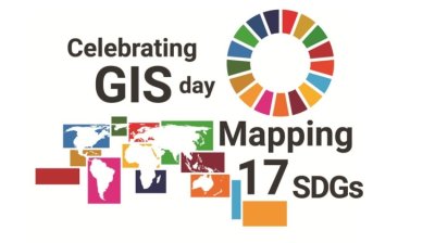 This year, to showcase the use of geospatial information and cartography to provide insights and knowledge for a better world, the United Nations Geospatial team prepared maps on each of the Sustainable Development Goals.
Each day, a new SDG map will be posted on the UN Geospatial website for 17 days as an advocacy campaign for our common agenda.
The idea to represent the SDGs using the power of geospatial information and cartography is a continuation of a joint publication between the United Nations and the International Cartographic Association (ICA) entitled Mapping for A Sustainable World (2020).
The publication shares cartographic best practices, supports the decision-making processes of the SDG community through geo-visualization, and promotes public awareness of the SDGs.
To achieve the SDGs, governments and individuals need to understand each goal and monitor progress towards reaching it.
Geospatial data and visualization through well-designed maps and diagrams can support this process by effectively illustrating where we are in achieving the Sustainable Development Goals and providing a global overview.
The United Nations Geospatial team includes geospatial professionals in the Office of Information and Communications Technology in New York and at the Global Service Centre in Brindisi.
We hope you will enjoy the maps and that they will bring insight and knowledge to your work. View the maps now at: www.un.org/geospatial.