
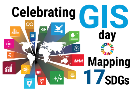
Mapping the SDGs to Celebrate GIS Day
Today is GIS (geographic information system) Day, which commemorates geospatial data and technology and promotes awareness of Geographic Information Systems or Geographic Information Sciences (GIS). Geospatial, or location, data can provide insights to challenges the world faces in achieving the 2030 Agenda for Sustainable Development. For the second straight year, the United Nations Geospatial team is celebrating GIS day by preparing maps on each of the 17 Sustainable Development Goals.
Mapping of the 17 SDGs showcase the use of reliable data for understanding trends, this time looking beyond worldwide trends, into regional context.
Beginning today, the Geospatial team—which includes geospatial professionals in the Office of Information and Communications Technology in New York, at the Global Service Centre in Brindisi, and field missions —will publish a new SDG map on the UN Geospatial website several times a week through the end of the year as an advocacy campaign for our common agenda.
To achieve the SDGs, governments and individuals need to understand each goal and monitor progress towards reaching it. Geospatial data and visualization through well-designed maps and diagrams can support this process by effectively illustrating where we are in achieving the Sustainable Development Goals and providing a global overview.
The idea to represent the SDGs using the power of geospatial information and cartography is a continuation of a joint publication between the United Nations and the International Cartographic Association (ICA) entitled Mapping for A Sustainable World (2020).
View the maps at: www.un.org/geospatial.